Trip Report/Trail Guide – 6/1/2019
One not always need to look far from home to find seemingly unknown hiking destinations. One such place is Kehl Canyon, which lies in the foothills of the San Bernardino mountains between Cherry Valley and Calimesa. My discovery of Kehl Canyon came about during some random Google Earth browsing. A stumbled upon a point of interest labeled “Kehl Canyon” trailhead. I found very little information about the trail online so I consorted another app, OffRoadX, which displays the boundaries between county, state, and federal lands and private properties. According to the app, most of Kehl Canyon is public land, owned by Riverside County.
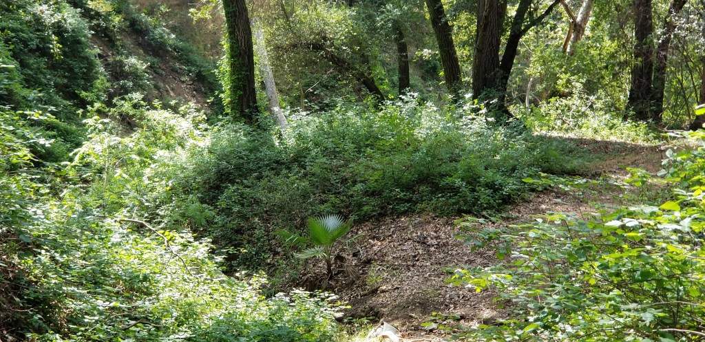
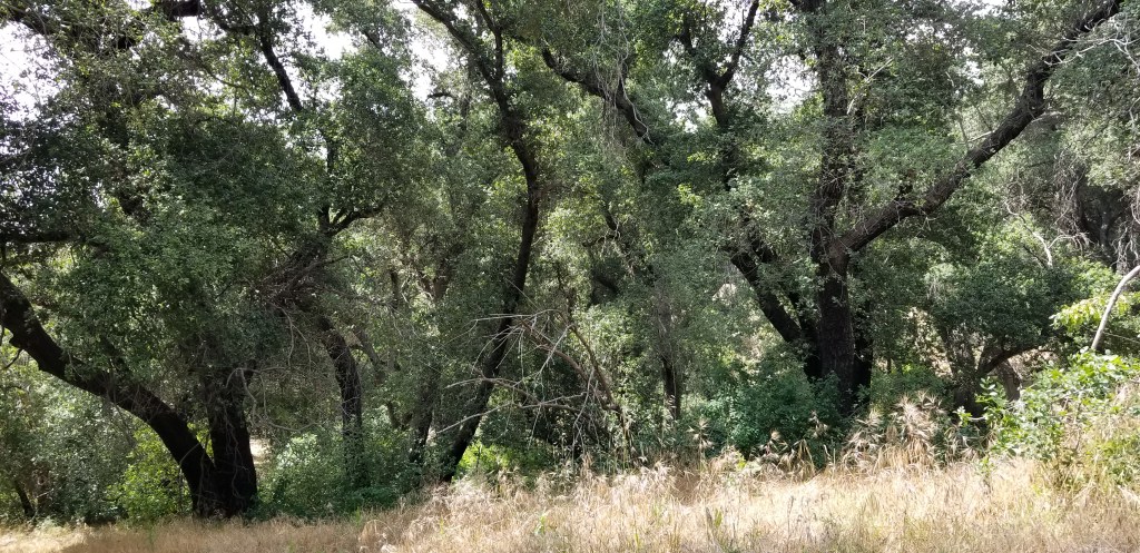
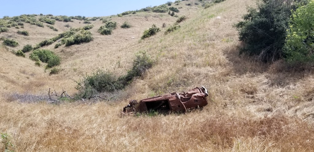
I took a trip over there to investigate further. The trailhead is located right off Singleton Road in Calimesa. Following the street past a retirement community, it turns into a dirt road that’s accessible to passenger vehicles. I located the trailhead, which was more or less an inconspicuous dirt lot next to the ruins of a graffiti’d and trashed abandoned home. I’m always a little leery of venturing into these kinds of places alone but I forged ahead anyway. I walked past the abandoned home, and through a break in an old, broken down fence. The sign on the fence warned that the trail was closed to vehicles, but it didn’t mention hikers! I pressed forth and found myself in one of the darkest, dankest riparian woodlands I’d ever seen in this part of the San Bernardino foothills. It was already well into June and the ferns were still a lush green, fed by springs which still flowed. High above the understory of ferns and poison oak towered some magnificent live oaks, which may be some of the largest I’d ever encountered in my journeys. I traversed the canyon by way of an abandoned dirt road.
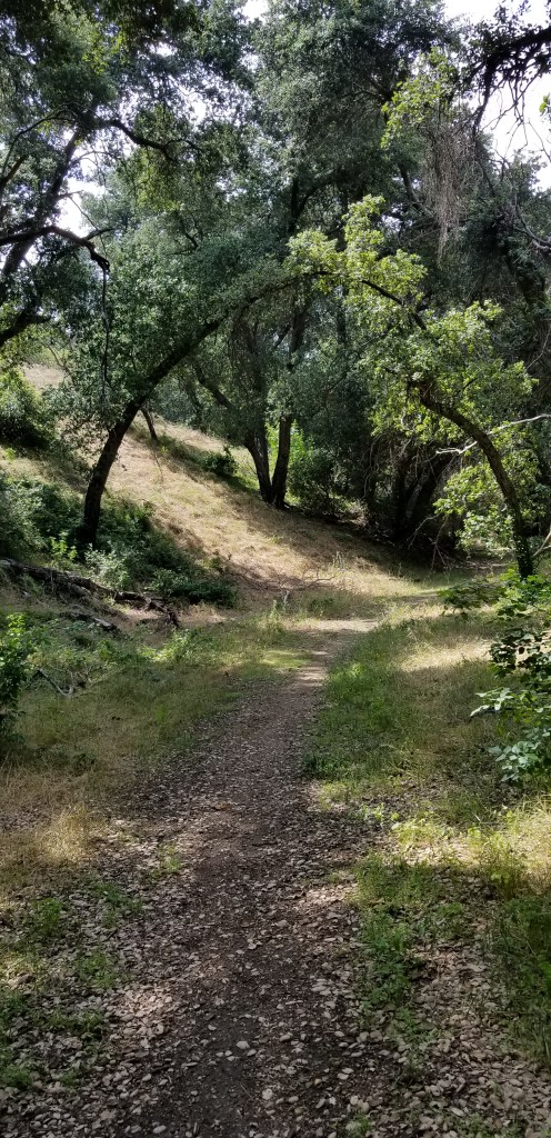
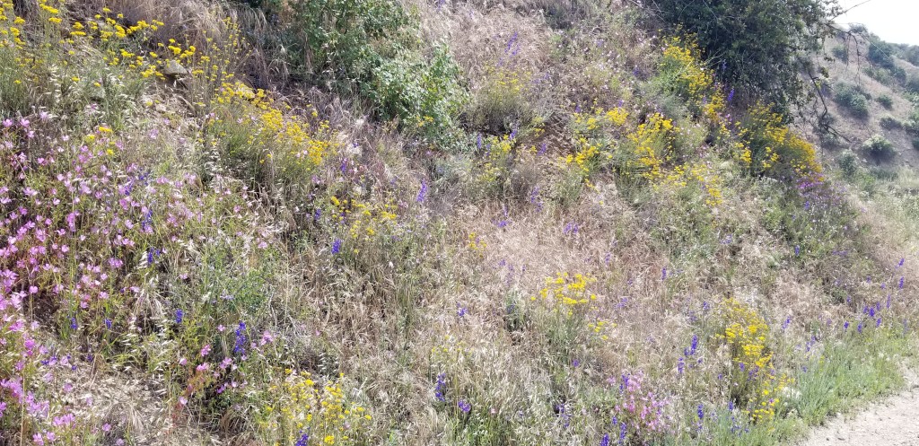
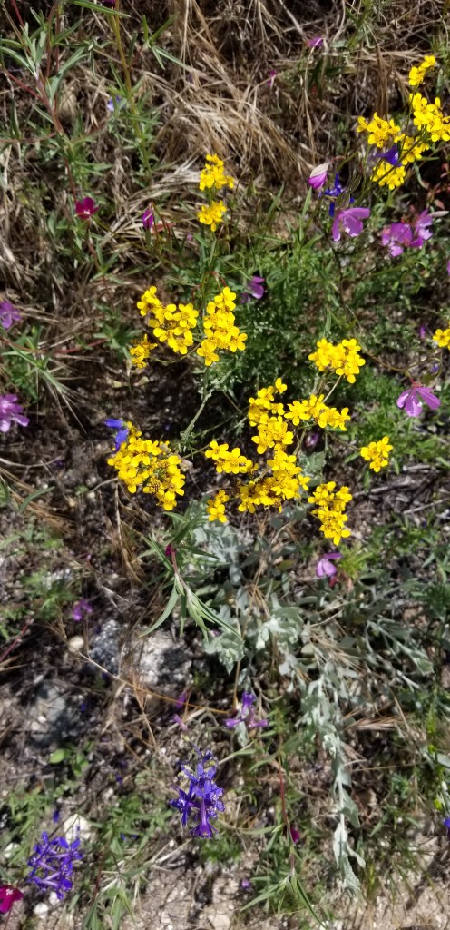
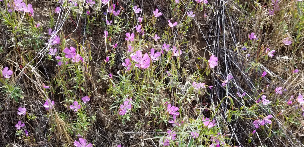
After about a half mile under the cover of trees, the trail emerges from the forest and contours around the side of the canyon. Here I was greeted by a riotous display of colorful flowers thanks to the plentiful winter rains.
At about three miles, the road joins with other more established dirt roads and ATV paths at a saddle in the hills that provided excellent views of Yucaipa Ridge immediately to the north and the undulating San Timoteo Badlands, with a still snow capped San Jacinto looming in the background. This was my turnaround point. I noticed that there were other trails that rimmed the inside of the canyon and climbed into the nearby hills, beckoning me for a return visit!
Distance, 7 miles out and back; elevation gain, 600 feet, total duration, 3 hours
